| Ciolo | |
|---|---|
 Panoramic view of Ponte del Ciolo (Ciolo's Bridge) | |
| Floor elevation | 26 metres (100 ft) |
| Length | 190 metres (620 ft) West-East |
| Width | 49 metres (161 ft) North-South |
| Depth | 144 metres (472 ft) |
| Naming | |
| Native name | Ciole (Sicilian) |
| English translation | Magpies |
| Geography | |
| Country | |
| State/Province | |
| Population center | Gagliano del Capo |
| Coordinates | 39°50′N 18°23′E / 39.84°N 18.38°E |
| Traversed by | Ciolo's Bridge, Ciolo's Trail, Cipolliane's Trail |
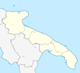
Ciolo is a narrow coastal inlet and a site of historical and environmental interest, which is located in the south of Apulia, in the historical region of Salento, Italy. The location is also known as a geological site and for the presence of numerous sea caves, the largest one being the Grotta del Ciolo. Since October 2006 the Ciolo's area has become part of the Regional Park "Costa Otranto - Santa Maria di Leuca e Bosco di Tricase", created by the Apulia region to protect the eastern coast of Salento, specifically the architectural assets as well as important animal and plant species.
The name Ciolo comes from the noun in salentino dialect "ciole", which refers to crows or magpies, which are widespread in this region.[1][2]
- ^ Piccinini, Marco (7 March 2015). "Grotta Grande del Ciolo" [Grotta Grande del Ciolo]. www.salogentis.it (in Italian). Archived from the original on 2016-07-14.
- ^ Ingravallo, Elettra (1997). La Passione dell'origine. Giuliano Cremonesi e la ricerca preistorica nel Salento [The ancient passion. Giuliano Cremonesi and the prehistoric research in Salento] (in Italian). Conte Editore.

