| Claireville Conservation Area | |
|---|---|
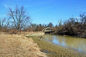
 West Humber River in Claireville Conservation Area | |
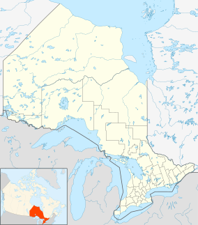
| Location | Brampton, Peel, Ontario, Canada |
| Coordinates | 43°45′15.97″N 79°38′31.88″W / 43.7544361°N 79.6421889°W |
| Area | 343 ha (850 acres) |
| Elevation | 167 m (548 ft) |
| Established | 1957 |
| Named for | Former Claireville village (present-day Claireville, Toronto) |
| Governing body | Toronto and Region Conservation Authority |
| Website | trca |
The Claireville Conservation Area is a suburban conservation area located on the border of Peel Region and Toronto in Ontario, Canada. The major part of the area is located in Brampton. The park is a 343 hectare (848 acre) parcel of conservation land located on the west branch of the Humber River. It is one of the largest tracts of land owned by the Toronto and Region Conservation Authority (TRCA).[1] Claireville contains significant natural and cultural heritage features, and has recreation, tourism, and educational facilities and programs.
