| The Cleveland Hills | |
|---|---|
 The Cleveland Hills viewed from Urra Moor | |
| Location | North Yorkshire, England |
| Nearest city | Middlesbrough, England |
| Coordinates | 54°24′57.84″N 1°12′4.53″W / 54.4160667°N 1.2012583°W |
| Governing body | North York Moors National Park Authority |
| Website | northyorkmoors.org.uk |
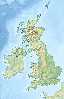
The Cleveland Hills are a range of hills on the north-west edge of the North York Moors in North Yorkshire, England, overlooking Cleveland and Teesside. They lie entirely within the boundaries of the North York Moors National Park. Part of the 110-mile (177 km) long Cleveland Way National Trail runs along the hills, and they are also crossed by a section of Wainwright's Coast to Coast Walk. The hills, which rise abruptly from the flat Tees Valley to the north, include distinctive landmarks such as the cone-shaped peak of Roseberry Topping, near the village of Great Ayton – childhood home of Captain James Cook.[1]
- ^ "Captain James Cook – History". Retrieved 17 May 2011.

