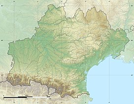
| Col de Val Louron-Azet | |
|---|---|
 A panorama of the Col d'Azet in the direction of the Louron Valley. | |
| Elevation | 1,580 m (5,184 ft)[1] |
| Traversed by | D225 |
| Location | Hautes-Pyrénées, France |
| Range | Pyrenees |
| Coordinates | 42°47′31″N 0°22′52″E / 42.79194°N 0.38111°E |
The Col de Val Louron-Azet (or Col d'Azet) (elevation 1,580 m (5,180 ft)) is a mountain pass in the French Pyrenees in the department of Hautes-Pyrénées, which links Saint-Lary-Soulan and Azet, in the Aure Valley to the west, with Génos and Loudenvielle in the Louron Valley to the east. To the east of the pass is the Val-Louron ski station, and the GR10 footpath is also nearby.[2]
- ^ IGN map
- ^ "From Oule Lake (Hautes-Pyrénées) to Araing Lake (Ariège)". Retrieved 13 July 2014.


