Cooch Behar Airport | |||||||||||
|---|---|---|---|---|---|---|---|---|---|---|---|
 | |||||||||||
| Summary | |||||||||||
| Airport type | Public | ||||||||||
| Owner | Airports Authority of India | ||||||||||
| Operator | Airports Authority of India | ||||||||||
| Serves | Cooch Behar and Alipurduar | ||||||||||
| Location | Cooch Behar, West Bengal, India | ||||||||||
| Opened | 1945 | ||||||||||
| Elevation AMSL | 141 ft / 43 m | ||||||||||
| Coordinates | 26°19′52″N 89°28′06″E / 26.33111°N 89.46833°E | ||||||||||
| Website | Coochbehar Airport | ||||||||||
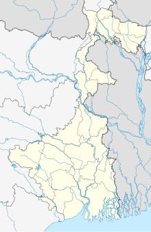
| Map | |||||||||||
 | |||||||||||
| Runways | |||||||||||
| |||||||||||
| Statistics (April 2022 – March 2023) | |||||||||||
| |||||||||||
Cooch Behar Airport (IATA: COH, ICAO: VECO)[1] is a domestic airport serving the city of Cooch Behar, West Bengal, India and parts of North Bengal and Assam. It is located 6.2 km (3.9 mi) from the city centre. The airport is spread over an area of 173 acres.[5]
- ^ a b "ICAO Location Indicators by State" (PDF). International Civil Aviation Organization. 12 January 2006. Archived from the original (PDF) on 26 September 2007. Retrieved 8 June 2010.
- ^ "Annexure III – Passenger Data" (PDF). aai.aero. Retrieved 24 April 2024.
- ^ "Annexure II – Aircraft Movement Data" (PDF). aai.aero. Retrieved 24 April 2024.
- ^ "Annexure IV – Freight Movement Data" (PDF). aai.aero. Retrieved 24 April 2024.
- ^ "Airports Authority of India". Archived from the original on 25 February 2008. Retrieved 25 February 2008.

