| Cow Creek | |
|---|---|
 | |
| Location | |
| country | United States |
| state | Montana |
| county | Blaine |
| Physical characteristics | |
| Source | Bear Paw Mountains |
| • coordinates | 48°05′28″N 109°20′07″W / 48.09111°N 109.33528°W |
| Mouth | Missouri River |
• coordinates | 47°47′15″N 108°56′10″W / 47.78750°N 108.93611°W |
| Length | 35 miles (56 km) |
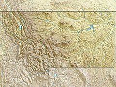
Cow Creek is a tributary of the Missouri River, approximately 35 miles (56 km) long, in north central Montana in the United States. Cow Creek rises in the southern foothills of the Bear Paw Mountains in western Blaine County and flows east and then south, joining the Missouri approximately 25 air miles (40 km) northeast of Winifred, Montana—or 22 miles (35 km) upstream from the Fred Robinson Bridge.
