| Coyote Point Recreation Area | |
|---|---|
 Coyote Point from the air. Peninsula Avenue retreats into the center background after crossing the Bayshore Freeway (US 101), which runs from left to right in the upper portion of the picture. The marina, at lower left, runs almost directly north-south. Beyond the trees, in the upper left, is the adjoining Poplar Creek Golf Course. | |
| Type | Parkland, woodland, museum & zoo |
| Location | San Mateo County, California, USA |
| Coordinates | 37°35′22″N 122°19′34″W / 37.5893796°N 122.3260810°W |
| Area | 670 acres (270 ha)[1] |
| Created | 1962 |
| Operated by | San Mateo County, California |
| Open | All year |
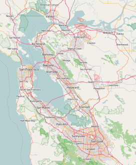
Coyote Point Recreation Area is a 670-acre (270 ha) park operated by San Mateo County, California in the United States. Located on San Francisco Bay, it is south of San Francisco International Airport on the border of Burlingame and San Mateo. Facilities within the park include a large playground, the CuriOdyssey junior museum, a sandy bathing beach, a marina and yacht club, hiking trails, and picnic areas. In addition, the San Mateo County Sheriff's office has a shooting range on-site for training of law enforcement. It is adjacent to the Peninsula Humane Society and the municipal Poplar Creek Golf Course.
The distinctive point, covered by a grove of eucalyptus trees, can be seen from airplanes approaching San Francisco International Airport and is a good location for aircraft spotting and birdwatching.[1][2][3] The site has been used for the large Pacific City amusement park in the early 1920s, as the basic training facility for the Pacific branch of the United States Merchant Marine service during World War II, and as the campus for College of San Mateo during the decade that followed the war. The county completed its acquisition of the park lands in 1962.


