Cross Road | |
|---|---|
 | |
| Coordinates | |
| General information | |
| Type | Road |
| Location | Adelaide |
| Length | 8.8 km (5.5 mi)[1] |
| Route number(s) | |
| Major junctions | |
| West end | Stonehouse Avenue Plympton, Adelaide |
| East end | Glen Osmond, Adelaide |
| Location(s) | |
| Region | Western Adelaide, Eastern Adelaide[2] |
| Major suburbs | Glandore, Unley Park, Highgate |
| ---- | |

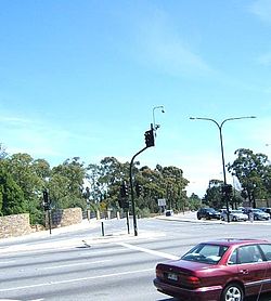
Cross Road is a major arterial road that travels east–west through the inner southern suburbs of the Australian city of Adelaide.[3] It is designated route A3.
- ^ "Cross Road" (Map). Google Maps. Retrieved 29 June 2022.
- ^ "Location SA Map viewer with regional layers". Government of South Australia. Retrieved 16 June 2022.
- ^ 2003 Adelaide Street Directory, 41st Edition. UBD (A Division of Universal Press Pty Ltd). 2003. ISBN 0-7319-1441-4.
