Cunetio | |
 Cunetio within the River Kennet valley | |
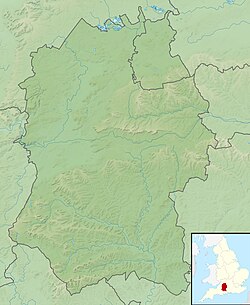
Location of Cunetio in Wiltshire | |
| Location | Situated on a Roman road between Durocornovium and Venta Belgarum |
|---|---|
| Region | Britannia |
| Coordinates | 51°25′25.10″N 1°41′26.14″W / 51.4236389°N 1.6905944°W |
| Altitude | 130 m (427 ft) |
| Type | Walled Settlement |
| Part of | Britannia Superior |
| Length | 265 m (869 ft) |
| Width | 213 m (699 ft) |
| Area | 30 hectares (74 acres) |
| History | |
| Founded | 2nd century AD |
| Abandoned | Late 5th century AD |
| Periods | Roman Britain |
| Cultures | Romano-British |
| Site notes | |
| Discovered | 1940s |
| Excavation dates | 1960 - 2000s |
| Archaeologists | Wessex Archaeology Time Team |
| Condition | no extant remains |
| Management | Scheduled monument |
| Public access | no |
Cunetio was a large walled town in a valley of the River Kennet in modern-day Wiltshire, England. The settlement was occupied from the 2nd century AD by Romano-British people until the post-Roman period, and was abandoned in the early 5th century. Its site is near the village of Mildenhall, about 1+1⁄2 miles (2.4 km) east of the market town of Marlborough.
The entire town lay undiscovered until it was identified from aerial photos in the 1940s. Archaeological excavations have revealed that the town was a substantial urban area defended by large masonry walls. Artefacts recovered from the site include kitchenware, personal effects, and two hoards of Roman coinage.
