| Curonian Lagoon | |
|---|---|
| |
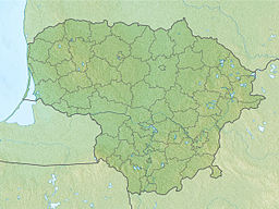
 Map of the Curonian Spit and Lagoon | |
| Location | Lithuania, Russia |
| Coordinates | 55°05′34″N 20°54′59″E / 55.09278°N 20.91639°E |
| Type | Lagoon |
| Primary inflows | Neman |
| Max. length | 98 km (61 mi) |
| Max. width | 46 km (29 mi) |
| Surface area | 1,619 km2 (625 sq mi) |
| Average depth | 3.8 m (12 ft) |
| Max. depth | 5.8 m (19 ft) |
The Curonian Lagoon (or Bay, Gulf; Prussian: Kursjanmari, Lithuanian: Kuršių marios, Russian: Куршский залив) is a freshwater lagoon separated from the Baltic Sea by the Curonian Spit. Its surface area is 1,619 square kilometers (625 sq mi).[1] The Neman River (Lithuanian: Nemunas) supplies about 90% of its inflows; its watershed consists of about 100,450 square kilometres in Lithuania and Russia's Kaliningrad Oblast.[2]
- ^ "Curonian Lagoon". Encyclopædia Britannica. Retrieved 2009-10-17.
- ^ I. Ethem Gönenç, Angheluta Vadineanu (2008). Sustainable Use and Development of Watersheds. Springer. ISBN 978-1-4020-8557-4.


