| Cuyo Basin | |
|---|---|
| Cuenca Cuyana | |
| Coordinates | 34°15′S 68°34′W / 34.250°S 68.567°W |
| Etymology | Cuyo River |
| Country | |
| State(s) | Mendoza, San Juan |
| Cities | Mendoza |
| Characteristics | |
| On/Offshore | Onshore |
| Boundaries | Andes |
| Part of | Andean foreland basins |
| Area | ~30,000 km2 (12,000 sq mi) |
| Hydrology | |
| River(s) | Cuyo River |
| Geology | |
| Basin type | Foreland basin |
| Plate | South American |
| Orogeny | Andean |
| Age | Triassic-Pliocene |
| Stratigraphy | Stratigraphy |
| Field(s) | Tupungato |
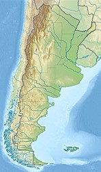
Cuyo Basin (Spanish: Cuenca Cuyana) is a sedimentary basin in Mendoza Province, western Argentina. The Cuyo Basin has a NNW-SSE elongated shape and is limited to the west by the Sierra Pintada System and to the east by the Pampean pericraton. To the north the basin reaches the area around the city of Mendoza.[1]
- ^ "Cuenca Cuyana". Secretaría de Energía (in Spanish). Government of Argentina. Retrieved 30 November 2015.
