Dalat District | |
|---|---|
 The aerial view of Dalat town. The great river seen here is the Batang Oya. | |
| Motto(s): Berakar Rumbia, Berinti Budaya[1] | |
| Coordinates: 2°44′20″N 111°56′19″E / 2.73889°N 111.93861°E | |
| District Office location | Dalat |
| Local area government | Majlis Daerah Dalat dan Mukah (MDDM) |
| Area | |
| • Total | 905.29 km2 (349.53 sq mi) |
| Population (2020[3]) | |
| • Total | 21,147(census) |
| District Officer | Vacant |
| Sub-district | Oya |
| Pekans | Dalat, Oya & Sungai Kut |
| Postcode | 96300 |

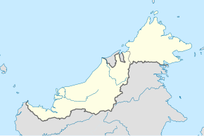
The Dalat District is located in Mukah Division, Sarawak, Malaysia. It is situated by the Oya river. The district covers areas from Kg. Penat to Oya, and from Muara Sg. Kut to Ulu Baoh.[2] The district has an area of 905.29 km2, while the Oya sub-district has an area of 147.47 km2.
- ^ "Dalat waiting to be explored by culture, history buffs". The Borneo Post. Retrieved 2 August 2013.
- ^ a b "Visi, Misi dan Latar Belakang". Pejabat Daerah Dalat. Archived from the original on 17 March 2012. Retrieved 28 January 2011.
- ^ "Penemuan Utama Banci Penduduk dan Perumahan Malaysia 2020". Jabatan Perangkaan Malaysia. Archived from the original on 18 April 2022. Retrieved 12 July 2022.

