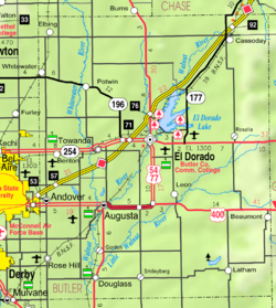
De Graff, Kansas | |
|---|---|
 | |
| Coordinates: 37°58′52″N 96°51′46″W / 37.98111°N 96.86278°W[1] | |
| Country | United States |
| State | Kansas |
| County | Butler |
| Township | Lincoln |
| Elevation | 1,401 ft (427 m) |
| Time zone | UTC-6 (CST) |
| • Summer (DST) | UTC-5 (CDT) |
| Area code | 620 |
| FIPS code | 20-17325 |
| GNIS ID | 474396 [1] |
De Graff is an unincorporated community in Butler County, Kansas, United States.[1] It is located on U.S. Route 77 approximately 7.7 miles (12.4 km) north of I-35 (Kansas Turnpike)

