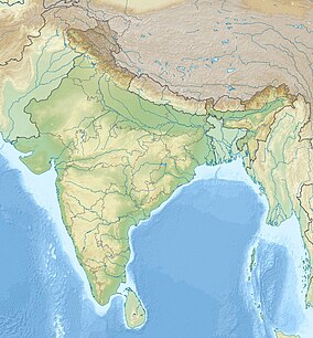
| Dibru-Saikhowa National Park | |
|---|---|
| Dibru-Saikhowa Biosphere Reserve | |
 | |
| Location | Assam, India |
| Nearest city | Tinsukia |
| Coordinates | 27°40′N 95°23′E / 27.667°N 95.383°E |
| Area | 350 km2 (140 sq mi) |
| Established | 1999 |
Dibru-Saikhowa National Park is a national park located in Dibrugarh and Tinsukia districts, Assam, India. It was designated a Biosphere Reserve in July 1997 with an area of 765 km2 (295 sq mi), including a core area of 340 km2 (130 sq mi) and a buffer zone of 425 km2 (164 sq mi).
It is located around 12 km (7.5 mi) north of Tinsukia town at an average elevation of 118 m (387 ft), ranging from 110 to 126 m (361 to 413 ft). The park is bounded by the Brahmaputra and Lohit rivers in the north and Dibru River in the south. It mainly consists of moist mixed semi-evergreen forests, moist mixed deciduous forests, canebrakes and grasslands. It is the largest salix swamp forest in north-eastern India, with a tropical monsoon climate with a hot and wet summer and cool and usually dry winter. Annual rainfall ranges from 2,300 to 3,800 mm (91 to 150 in). It is a haven for many endangered species and rich in fish diversity.[1][2] In December 2020, Gauhati highcourt stayed a permission given to Oil India Limited for hydrocarbon exploration at seven locations inside the protected area.[3]
- ^ Choudhury, A. U. (1994). A report on bird survey in Dibru–Saikhowa Wildlife Sanctuary, Assam, India. Oriental Bird Club, UK.
- ^ Choudhury, A. U. (1998). "Mammals, birds and reptiles of Dibru-Saikhowa Sanctuary, Assam, India". Oryx. 32 (3): 192–200. doi:10.1046/j.1365-3008.1998.d01-36.x.
- ^ Parashar, U. (2020). "Gauhati HC stays hydrocarbon exploration inside Dibru-Saikhowa national park". Hindustan Times.

