Eagle Creek Airpark | |||||||||||
|---|---|---|---|---|---|---|---|---|---|---|---|
 Aerial view of Eagle Creek Airpark (left) in 2024 | |||||||||||
| Summary | |||||||||||
| Airport type | Public | ||||||||||
| Owner | Indianapolis Airport Authority | ||||||||||
| Serves | Indianapolis, Indiana | ||||||||||
| Elevation AMSL | 823 ft / 251 m | ||||||||||
| Coordinates | 39°49′51″N 086°17′40″W / 39.83083°N 86.29444°W | ||||||||||
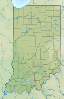
| Map | |||||||||||
 | |||||||||||
| Runways | |||||||||||
| |||||||||||
| Statistics | |||||||||||
| |||||||||||
Eagle Creek Airpark (ICAO: KEYE, FAA LID: EYE) is a public use airport located seven nautical miles (13 km) west of the central business district of Indianapolis, a city in Marion County, Indiana, United States. It is owned by the Indianapolis Airport Authority and serves as a reliever airport for Indianapolis International Airport.[1]
Although most U.S. airports use the same three-letter location identifier for the FAA and IATA, this airport is assigned EYE by the FAA but has no designation from the IATA.[2]
- ^ a b FAA Airport Form 5010 for EYE PDF, effective November 2, 2023.
- ^ Great Circle Mapper: KEYE - Indianapolis, Indiana - Eagle Creek Airpark

