East Godavari district | |
|---|---|
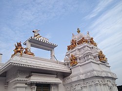
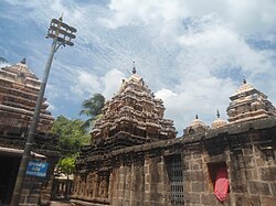
Clockwise from top-left: Kovvur Shivalayam, Golingeshwara Temple near Biccavole,
Godavari bridges near Rajamahendravaram | |
 Location in Andhra Pradesh | |
 Interactive map outlining district | |
| Coordinates: 16°57′N 82°15′E / 16.950°N 82.250°E | |
| Country | |
| State | |
| Region | Coastal Andhra |
| Headquarters | Rajamahendravaram |
| Mandalas | 19[1] |
| Government | |
| • District collector | Dr K Madhavi Latha, IAS[2] |
| • Lok Sabha constituencies | Rajamahendravaram |
| • Assembly constituencies | 7 |
| Area | |
• Total | 2,560.70 km2 (988.69 sq mi) |
| Population | |
• Total | 1,832,332 |
| • Density | 720/km2 (1,900/sq mi) |
| Demographics | |
| • Literacy | 71.35% |
| • Sex ratio | 1005 |
| Vehicle registration | AP-05 (former) AP–39 (from 30 January 2019)[5] |
| Major highways | NH 16, NH 216, NH 516E, NH 216A, NH-365BB, NH-516D. |
| Website | eastgodavari |
East Godavari is a district in the Coastal Andhra region of Andhra Pradesh, India. Its district headquarters is at Rajamahendravaram.
- ^ "District – East Godavari". Andhra Pradesh Online Portal. Archived from the original on 18 June 2015. Retrieved 23 August 2014.
- ^ "Collectors, SPs appointed for new districts in Andhra Pradesh". The Hindu. 30 April 2022. Retrieved 30 April 2022.
- ^ Cite error: The named reference
demographicswas invoked but never defined (see the help page). - ^ Cite error: The named reference
demographics1was invoked but never defined (see the help page). - ^ "New 'AP 39&40' code to register vehicles in Andhra Pradesh launched". The New Indian Express. Vijayawada. 31 January 2019. Archived from the original on 3 February 2019. Retrieved 9 June 2019.


