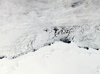

Enderby Land is a projecting landmass of Antarctica. Its shore extends from Shinnan Glacier at about 67°55′S 44°38′E / 67.917°S 44.633°E to William Scoresby Bay at 67°24′S 59°34′E / 67.400°S 59.567°E, approximately 1⁄24 of the earth's longitude. It was first documented in western and eastern literature in February 1831 by John Biscoe aboard the whaling brig Tula, and named after the Enderby Brothers of London, the ship's owners who encouraged their captains to combine exploration with sealing.[1]