Enniskillen/St Angelo Airport | |||||||||||
|---|---|---|---|---|---|---|---|---|---|---|---|
 | |||||||||||
 | |||||||||||
| Summary | |||||||||||
| Airport type | Private | ||||||||||
| Operator | Enniskillen Airport Ltd | ||||||||||
| Serves | Enniskillen | ||||||||||
| Location | Trory | ||||||||||
| Elevation AMSL | 155 ft / 47 m | ||||||||||
| Coordinates | 54°23′55″N 007°39′07″W / 54.39861°N 7.65194°W | ||||||||||
| Website | enniskillen-airport.co.uk | ||||||||||
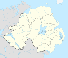
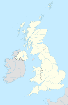
| Map | |||||||||||
 | |||||||||||
| Runways | |||||||||||
| |||||||||||
Enniskillen/St Angelo Aerodrome (IATA: ENK, ICAO: EGAB) is located 3 nautical miles (5.6 km; 3.5 mi) north of Enniskillen, County Fermanagh, Northern Ireland. The aerodrome has a CAA Ordinary Licence (Number P875) that allows flights for the public transport of passengers or for flying instruction as authorised by the licensee (Enniskillen Airport Limited).[2] First built and used during World War II as RAF St Angelo and later renamed St Angelo Barracks while in use as a British Army base, the airfield has been in private ownership as a civilian facility since 1996. The original two runways were reduced to one following the development of the main Enniskillen to Kesh road.


