Eugene F. Correia International Airport | |||||||||||
|---|---|---|---|---|---|---|---|---|---|---|---|
 | |||||||||||
| Summary | |||||||||||
| Airport type | Public | ||||||||||
| Operator | Ogle Airport Inc. | ||||||||||
| Serves | Georgetown, Demerara-Mahaica, Guyana | ||||||||||
| Elevation AMSL | 10 ft / 3 m | ||||||||||
| Coordinates | 6°48′26″N 58°06′21″W / 6.80722°N 58.10583°W | ||||||||||
| Website | ogleairportguyana.com | ||||||||||
| Map | |||||||||||
 | |||||||||||
| Runways | |||||||||||
| |||||||||||
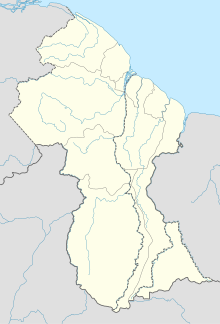
Eugene F. Correia International Airport (IATA: OGL, ICAO: SYEC) is located on the Atlantic Ocean coast of Guyana, 6 kilometres (3.7 mi) east of the capital, Georgetown, in the Demerara-Mahaica region.
In 2013, LIAT began scheduled passenger airline flights between the airport and Barbados[citation needed], thus switching over its former air service into Cheddi Jagan International Airport.
The airport was formerly known as Georgetown-Ogle International Airport and is the second international airport along with the Cheddi Jagan International Airport to serve Georgetown and its vicinity.
- ^ Airport information for OGL at Great Circle Mapper.
- ^ Google Maps – Ogle
