F. D. Roosevelt Airport | |||||||||||
|---|---|---|---|---|---|---|---|---|---|---|---|
 The airport seen from a distance with The Quill in the background | |||||||||||
| Summary | |||||||||||
| Airport type | Public | ||||||||||
| Owner | Island Government of Sint Eustatius | ||||||||||
| Operator | Island Government of Sint Eustatius | ||||||||||
| Serves | Oranjestad | ||||||||||
| Location | Sint Eustatius | ||||||||||
| Elevation AMSL | 129 ft / 39 m | ||||||||||
| Coordinates | 17°29′47″N 062°58′46″W / 17.49639°N 62.97944°W | ||||||||||
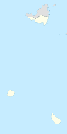
| Map | |||||||||||
 | |||||||||||
| Runways | |||||||||||
| |||||||||||
F. D. Roosevelt Airport (IATA: EUX, ICAO: TNCE) is the airport located on the Dutch Caribbean island of Sint Eustatius. It was opened as "Golden Rock Airport" in 1946 and renamed for Franklin Delano Roosevelt. As of 2012, the only commercial aircraft that serves the island is the DHC-6 Twin Otter (can operate chartered flights with Britten-Norman Islander and Cessna 208 Caravan), although the runway can accommodate larger turboprop aircraft and some smaller jets. As of 2023, the largest aircraft type to operate at the airport is the ATR 42.
President Roosevelt had Dutch ancestors and in 1939 presented Sint Eustatius with a plaque in recognition of the "First Salute," the first official salute of the flag of the newly declared independent United States in 1776. Members of the Roosevelt family lived on St. Eustatius in the 18th century and had possessions on the island.
- ^ "Airport information for TNCE". World Aero Data. Archived from the original on 2019-03-05.
{{cite web}}: CS1 maint: unfit URL (link) Data current as of October 2006. Source: DAFIF. - ^ Airport information for EUX at Great Circle Mapper. Source: DAFIF (effective October 2006).
