| Fairy Meadows فیری میڈوز | |
|---|---|
 Nanga Parbat from Fairy Meadows | |
| Location | Gilgit-Baltistan, Pakistan |
| Nearest city | Chilas |
| Coordinates | 35°23′12.67″N 74°35′02.98″E / 35.3868528°N 74.5841611°E |
| Elevation | 3,300 metres (10,800 ft) |
| Established | 1995 |
| Governing body | Government of Gilgit-Baltistan |
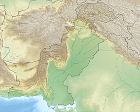
Fairy Meadows (Urdu: فیری میڈوز), named by German climbers (German Märchenwiese, "fairy tale meadows")[1][2] and locally known as Joot,[3] is an area of grassland near one of the base camp sites of Nanga Parbat, located in Diamer District in Gilgit-Baltistan region in Pakistan.[4] At an altitude of about 3,300 metres (10,800 ft) above sea level, it serves as the launching point for mountaineers summiting Nanga Parbat by the Rakhiot face.[4][5] In 1995, the Government of Pakistan declared Fairy Meadows a National Park.[6][7]
- ^ Timo Frasch (15 July 2009). "Nanga Parbat: Eine Blume für Karl". Frankfurter Allgemeine. Retrieved 5 October 2013.
- ^ Shaheen Rafi Khan (1997). Micro Case Study and Action Plan for Fairy Meadows (PDF) (Report). International Center for Integrated Mountain Development. ISSN 1024-7564. Retrieved 30 August 2013.
- ^ Zofeen T. Ebrahim (July 2011). "Trekking to tranquility" (PDF). Pakistan Wildlife News. 3 (7). Bioresource Research Center: 7. ISSN 2077-9305. Archived from the original (PDF) on 4 October 2013. Retrieved 30 August 2013.
- ^ a b Zofeen T. Ebrahim (8 July 2011). "Trekking to tranquility". Dawn. Retrieved 24 August 2013.
- ^ "Roof of the World beckons trekkers". New Straits Times. 23 March 1997. pp. 32–34. Retrieved 24 August 2013.
- ^ Lawrence S. Hamilton (15 June 1995). "New Parks for Pakistan" (PDF). Mountain Protected Areas Update. International Union for Conservation of Nature. p. 3. Archived from the original (PDF) on 28 August 2013. Retrieved 28 August 2013.
- ^ Kanak Mani Dixit (March–April 1995). "Objects of Desire in the Northern Areas". Himal Southasian. 8 (2). Nepal: Himal Association. ISSN 1012-9804.

