This article needs additional citations for verification. (May 2009) |
Faro | |
|---|---|
Town | |
| Town of Faro | |
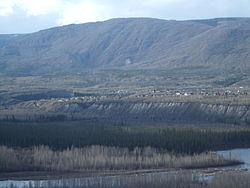
 Faro and Pelly River | |
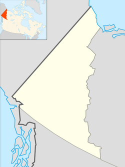
| Coordinates: 62°13′35″N 133°21′21″W / 62.22639°N 133.35583°W[1] | |
| Country | Canada |
| Territory | Yukon |
| Area | |
| • Land | 199.89 km2 (77.18 sq mi) |
| Elevation At airport[3] | 720 m (2,350 ft) |
| Population (2021)[2] | |
• Total | 440 |
| • Density | 2.2/km2 (6/sq mi) |
| • Change 2016-21 | |
| Demonym | Faroite |
| Time zone | UTC−07:00 (MST) |
| Climate | Dfc |
| Website | Official website |
Faro is a town in central Yukon, Canada, the home of the now abandoned Faro Mine. It was the largest open-pit lead–zinc mine in the world as well as a significant producer of silver and other natural resources. The mine was built by the Ralph M. Parsons Construction Company of the United States with General Enterprises Ltd. of Whitehorse being the main subcontractor. As of 2021, the population is 440, down from its peak population of 1,652 in 1981. Faro was named after the card game of the same name.[4]
As these industries have declined over the past decade, Faro is attempting to attract ecotourism to the region to view such animals as Dall and Stone sheep. Both species of sheep are almost unique to the surrounding area. Several viewing platforms have been constructed in and around the town.
One unusual feature of Faro is that it has a golf course running through the main part of town.[5]
- ^ "Faro". Geographical Names Data Base. Natural Resources Canada.
- ^ a b Cite error: The named reference
2021censuswas invoked but never defined (see the help page). - ^ Canada Flight Supplement. Effective 0901Z 16 July 2020 to 0901Z 10 September 2020.
- ^ "History of Faro". Town of Faro. 2022. Retrieved 17 January 2022.
- ^ Quilici, Don (18 July 2012). "Outdoors with Don Q: The Yukon's infamous Robert Campbell Highway". Carson Now. Carson City News, Carson, Nevada. Retrieved 28 July 2012.

