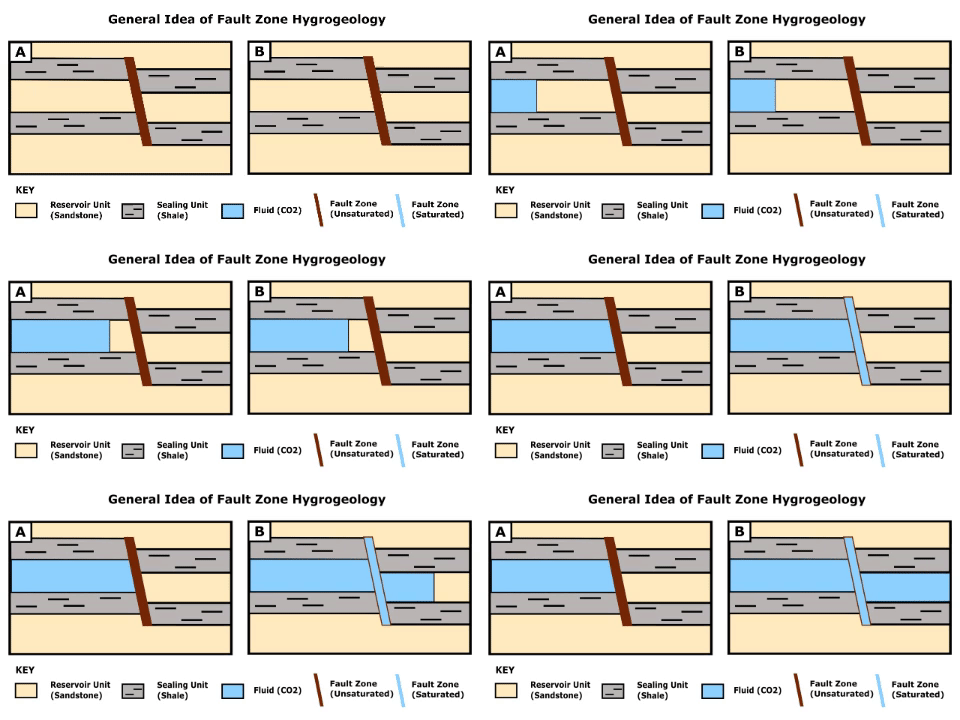
Fault zone hydrogeology is the study of how brittlely deformed rocks alter fluid flows in different lithological settings, such as clastic, igneous and carbonate rocks.[1] Fluid movements, that can be quantified as permeability, can be facilitated or impeded due to the existence of a fault zone.[1] This is because different mechanisms that deform rocks can alter porosity and permeability within a fault zone.[1][2] Fluids involved in a fault system generally are groundwater (fresh and marine waters) and hydrocarbons (Oil and Gas).[3]
Take notice that permeability (k) and hydraulic conductivity (K) are used interchangeably in this article for simplified understanding

- ^ a b c Bense, V.F.; Gleeson, T.; Loveless, S.E.; Bour, O.; Scibek, J. (2013). "Fault zone hydrogeology". Earth-Science Reviews. 127: 171–192. Bibcode:2013ESRv..127..171B. doi:10.1016/j.earscirev.2013.09.008.
- ^ Cite error: The named reference
:13was invoked but never defined (see the help page). - ^ Hadley, Daniel R.; Abrams, Daniel B.; Roadcap, George S. (2020). "Modeling a Large-Scale Historic Aquifer Test: Insight into the Hydrogeology of a Regional Fault Zone". Groundwater. 58 (3): 453–463. Bibcode:2020GrWat..58..453H. doi:10.1111/gwat.12922. ISSN 0017-467X. PMID 31290141. S2CID 195871567.