| Flatside Wilderness | |
|---|---|
 Forked Mountain as seen from White Oak Mountain | |
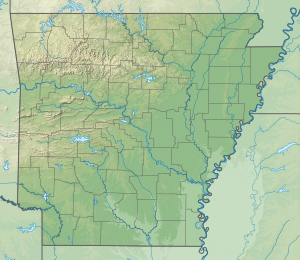
| Location | Perry County, Arkansas |
| Nearest city | Perryville, Arkansas |
| Coordinates | 34°51′35″N 92°56′51″W / 34.85972°N 92.94750°W |
| Area | 9,507 acres (3,847 ha) |
| Created | October 19, 1984 |
| Governing body | U.S. Forest Service |
The Flatside Wilderness is a 9,507-acre protected area in the U.S. state of Arkansas.[2] It is one of six wilderness areas in the Ouachita National Forest and also the easternmost.[2] Outdoor enthusiasts can enjoy the area in a number of ways, including an 8.9-mile section of the Ouachita National Recreation Trail.
- ^ Protected Planet Website- Retrieved April 17, 2023
- ^ a b "Wilderness Areas" (PDF). U.S. Forest Service. Retrieved 2017-11-19.

