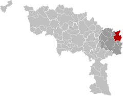
Fleurus
Fleuru (Walloon) | |
|---|---|
 | |
| Coordinates: 50°29′N 04°32′E / 50.483°N 4.533°E | |
| Country | |
| Community | French Community |
| Region | Wallonia |
| Province | Hainaut |
| Arrondissement | Charleroi |
| Government | |
| • Mayor | Loïc D'Haeyer (PS) |
| • Governing party/ies | PS - DéFI |
| Area | |
| • Total | 59.48 km2 (22.97 sq mi) |
| Population (2018-01-01)[1] | |
| • Total | 22,738 |
| • Density | 380/km2 (990/sq mi) |
| Postal codes | 6220-6224 |
| NIS code | 52021 |
| Area codes | 071 |
| Website | www.fleurus.be |
Fleurus (French pronunciation: [flœ.ʁys] ; Walloon: Fleuru) is a city and municipality of Wallonia located in the province of Hainaut, Belgium. It has been the site of four major battles.
The municipality consists of the following districts: Brye, Heppignies, Fleurus, Lambusart, Saint-Amand, Wagnelée, Wanfercée-Baulet (wa: Wanfercêye-Bålet), and Wangenies.
- ^ "Wettelijke Bevolking per gemeente op 1 januari 2018". Statbel. Retrieved 9 March 2019.


