| Flinders Peak Group | |
|---|---|
 Flinders Peak Group at Sunset, 2011 | |
| Highest point | |
| Peak | Flinders Peak |
| Elevation | 679 m (2,228 ft) |
| Geography | |
| Country | Australia |
| State | Queensland |
| Region | South East Queensland |
| Range coordinates | 27°49′00″S 152°49′00″E / 27.81667°S 152.81667°E |
| Parent range | Scenic Rim |

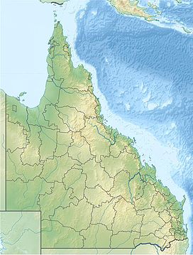
The Flinders Peak Group is an unnamed range of hills located on the northern edge of the Scenic Rim Region, south west of Logan City and south east of the City of Ipswich in South East Queensland, Australia. The summit in the Range is Flinders Peak reaching 680 metres (2,230 ft) above sea level.
The first Europeans to cross the range were Patrick Logan and his exploration party in June 1827.[1] Most of the range remains naturally vegetated within a series of protected areas. Both the Flinders-Goolman Conservation Estate and the Flinders Peak Conservation Park are located along this range.
Other mountains include Mount Joyce, Mount Blaine, Mount Goolman, Mount Elliott, Mount Flintoff, Mount Welcome and Ivorys Rock.[2] The range is visible from many locations around the Scenic Rim.
- ^ Murray Johnson and Kay Saunders. "Working the Land:An Historical Overview of Boonah and its Northern Districts" (pdf). State of Queensland. p. 9. Archived (PDF) from the original on 29 September 2009. Retrieved 16 July 2009.
- ^ NSW Northern Rivers & South-East Queensland (Map) (2 ed.). 1 : 550,000. Cartography by Auslig. NRMA. 1998.
