| Flood Plains National Park | |
|---|---|
| ජලගැලුම් නිම්න ජාතික වනෝද්යානය வெள்ளச் சமவெளிகள் தேசிய வனம் | |
| Location | North Central Province, Sri Lanka |
| Nearest city | Polonnaruwa |
| Coordinates | 7°55′05″N 81°05′12″E / 7.91813°N 81.08665°E |
| Area | 17,350 hectares (67.0 sq mi)[1] |
| Established | 1984 |
| Governing body | Department of Wildlife Conservation |
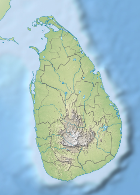
Flood Plains National Park (Sinhala: ජලගැලුම් නිම්න ජාතික වනෝද්යානය, romanized: Jalagælum Nimna Jātika Vanōdyānaya; Tamil: வெள்ளச் சமவெளிகள் தேசிய வனம், romanized: Veḷḷac Camaveḷikaḷ Tēciya Vaṉam) is one of the four national parks set aside under the Mahaweli River development project in Sri Lanka.[2] The park was created on 7 August 1984.[3] The national park is situated along the Mahaweli flood plain and is considered a rich feeding ground for elephants.[1] Flood Plains National Park is considered an elephant corridor for the elephants migrate between Wasgamuwa and Somawathiya national parks.[4] The park is situated 222 kilometres (138 mi) north-east of Colombo.
- ^ a b The national Atlas of Sri Lanka. Department of Survey. 2007. p. 88. ISBN 978-955-9059-04-2.
- ^ Senarathna 2004: p. 166
- ^ Green, Michael J. B. (1990). IUCN directory of South Asian protected areas. IUCN. pp. 202–205. ISBN 978-2-8317-0030-4.
- ^ Senarathna, P. M. (2004). Sri Lankawe Jathika Vanodhyana [National Parks of Sri Lanka] (in Sinhala). Sarasavi Publishers. pp. 180–182. ISBN 955-573-346-5.
