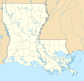
| Fontainebleau State Park | |
|---|---|
 Live oak tree draped with Spanish moss | |
| Location | St. Tammany Parish, Louisiana, United States |
| Coordinates | 30°20′43″N 90°01′22″W / 30.34523°N 90.02269°W[1] |
| Area | 2,800 acres (11 km2; 4.4 sq mi)[1] |
| Established | 1942 |
| Visitors | 227,884 (in 2022)[2] |
| Governing body | Louisiana Office of State Parks |
| Official website | |
Fontainebleau State Park is located in St. Tammany Parish, Louisiana, on the north shore of Lake Pontchartrain. The park is 2,800 acres (1,100 ha) in size and was once the site of a sugar cane plantation and brickyard operated by Bernard de Marigny and later by his son Armand Marigny. The park has a multitude of habitats for birds.
- ^ a b "Fontainebleau State Park - Louisiana Office of State Parks". Louisiana Department Of Culture, Recreation and Tourism. Retrieved May 9, 2021.
- ^ "Fiscal Year 2024 Executive Budget Review Department of Culture, Recreation and Tourism" (PDF). Louisiana House of Representatives. March 29, 2023.

