| Fort Griswold Battlefield State Park | |||||||||||||||
|---|---|---|---|---|---|---|---|---|---|---|---|---|---|---|---|
 Lower battery of Fort Griswold | |||||||||||||||
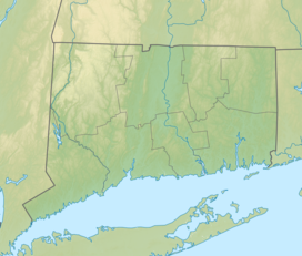
| Location | Groton, Connecticut, United States | ||||||||||||||
| Coordinates | 41°21′12″N 72°04′49″W / 41.35333°N 72.08028°W[1] | ||||||||||||||
| Area | 17 acres (6.9 ha)[2] | ||||||||||||||
| Elevation | 98 ft (30 m)[1] | ||||||||||||||
| Established | 1953 | ||||||||||||||
| Administered by | Connecticut Department of Energy and Environmental Protection | ||||||||||||||
| Designation | Connecticut state park | ||||||||||||||
| Website | Official website | ||||||||||||||
| |||||||||||||||
Fort Griswold is a former American defensive fortification in Groton, Connecticut named after Deputy Governor Matthew Griswold. The fort played a key role in the early stages of the American Revolutionary War, in correspondence with Fort Trumbull on the opposite side of the Thames River. Griswold defended the port of New London, Connecticut, a supply center for the Continental Army and friendly port for Connecticut-based privateers who targeted British shipping.[3] The site is maintained as Fort Griswold Battlefield State Park by the Connecticut Department of Energy and Environmental Protection.[4]
- ^ a b "Fort Griswold (historical)". Geographic Names Information System. United States Geological Survey, United States Department of the Interior.
- ^ Cite error: The named reference
pristaffwas invoked but never defined (see the help page). - ^ Cite error: The named reference
mealswas invoked but never defined (see the help page). - ^ Cite error: The named reference
DEEPwas invoked but never defined (see the help page).


