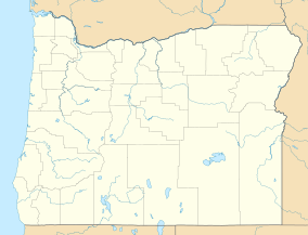
| Fort Henrietta Historic Park | |
|---|---|
 Park Entrance Sign | |
| Location | Umatilla County, Oregon, USA |
| Nearest city | Echo, Oregon |
| Coordinates | 45°44′31″N 119°11′54″W / 45.7419°N 119.1982°W |
| Area | 2 acres (0.81 ha)[1] |
| Established | 1988 |
| Governing body | National Park Service |
Fort Henrietta Historic Park is a public urban park, located in the city of Echo, Oregon, United States.[1] The park is located on the east bank of the Umatilla River and overlooks the original site of Utilla Indian Agency, the first agency for the Umatilla, Cayuse and Walla Walla Indian tribes in 1855 the Oregon Mounted Volunteers built Fort Henrietta on the agency site. The fort and agency were on the west river bank. The park is named for the fort which was named for Henrietta Haller, wife of Major Granville O. Haller, an American military officer during the Cayuse War.
The park is listed as a National Historic Trail Site because of its location along the Oregon Trail where emigrants frequently camped on their pass through northern Oregon.[2] The south end of the park was known as the Lower Crossing of the Umatilla River for the Oregon Trail originally and later for the stage and freight roads. The Upper Crossing is located in the City of Pendleton, Oregon.
- ^ a b Tetra Tech, Inc. (February 2020). "Exhibit T Recreation" (PDF). Nolin Hills Wind Power Project. Capital Power. Retrieved February 17, 2021.
- ^ "Fort Henrietta Park". City of Echo. Retrieved February 17, 2021.

