| Fremont River | |
|---|---|
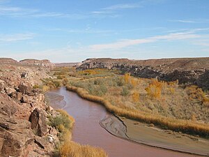
 Looking south along the Fremont River near Caineville, February 2005 | |
| Etymology | John C. Frémont |
| Location | |
| Country | United States |
| State | Utah |
| Region | Sevier and Wayne counties |
| Physical characteristics | |
| Source | |
| • location | Johnson Valley Reservoir |
| • coordinates | 38°36′32″N 111°37′56″W / 38.60889°N 111.63222°W |
| • elevation | 8,819 ft (2,688 m) |
| Mouth | Dirty Devil River |
• location | near Hanksville |
• coordinates | 38°24′10″N 110°41′35″W / 38.40278°N 110.69306°W |
• elevation | 4,250 ft (1,300 m) |
| Length | 95 mi (153 km) |
| Basin size | 751 sq mi (1,950 km2) |
| Discharge | |
| • location | Bicknell[1] |
| • average | 83.9 cu ft/s (2.38 m3/s)[1] |
| • minimum | 18 cu ft/s (0.51 m3/s) |
| • maximum | 1,360 cu ft/s (39 m3/s) |
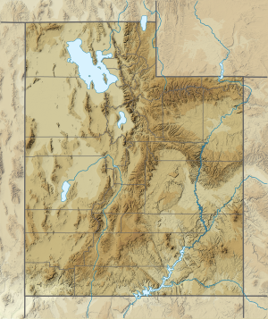
The Fremont River is a 95-mile (153 km) long river in southeastern Utah, United States that flows from the Johnson Valley Reservoir, which is located on the Wasatch Plateau near Fish Lake, southeast through Capitol Reef National Park to the Muddy Creek near Hanksville where the two rivers combine to form the Dirty Devil River, a tributary of the Colorado River.[2][3][4][5]
- ^ a b Cite error: The named reference
usgs reportwas invoked but never defined (see the help page). - ^ "The National Map". United States Geological Survey. Archived from the original on 29 March 2012. Retrieved 16 Feb 2011.
- ^ Fremont River Watershed: Water Quality Management Plan. waterquality.utah.gov (Report). Utah Department of Environmental Quality: Division of Water Quality. 27 Sep 2002. p. 1. Archived from the original (PDF) on 18 March 2005. Retrieved 9 Feb 2018.
- ^ "Fremont River". nps.gov. National Park Service. 25 Feb 2012. Retrieved 9 Feb 2018.
- ^ "Fremont River". Geographic Names Information System. United States Geological Survey, United States Department of the Interior.
