Gahini | |
|---|---|
 The Seeds Of Peace centre at Lake Muhazi | |
| Coordinates: 1°50′33″S 30°28′56″E / 1.84252°S 30.48235°E | |
| Country | |
| Province | Eastern Province |
| District | Kayonza |
| Area | |
| 201.7 km2 (77.9 sq mi) | |
| Elevation | 1,520 m (4,990 ft) |
| Population (2022 census)[1] | |
| 46,009 | |
| • Density | 230/km2 (590/sq mi) |
| • Urban | 7,917 |
| Time zone | UTC+2 (CAT) |
| • Summer (DST) | UTC+2 (not observed) |
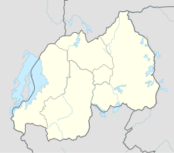
Gahini is a sector and village in Kayonza District, Eastern Province, Rwanda. It is situated on a hill, at an altitude of 1,520 metres (4,990 ft) above sea-level, close to the eastern edge of Lake Muhazi and 73 kilometres (45 mi) by road from the capital, Kigali. The village is the centre of one of the nine dioceses of the Eglise Episcopale au Rwanda, the Anglican church of Rwanda, and one of the four Rwandan sites chosen by the Church Missionary Society, who built a large mission, hospital and schools in the village.
- ^ Citypopulation.de Population and area of Gahini sector
