| Gap of Dunloe | |
|---|---|
| Dún Lóich | |
 At the Black Lake in the Gap of Dunloe, looking south towards the Head of the Gap | |
| Elevation | 241 metres (791 feet)[1] |
| Traversed by | Public Road[2] |
| Location | County Kerry, Ireland |
| Range | |
| Coordinates | 52°1′00″N 9°38′7.8″W / 52.01667°N 9.635500°W |
| Topo map | OSI Discovery 78 |
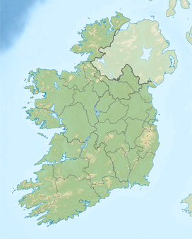
The Gap of Dunloe (from Irish Dún Lóich, meaning 'Lóich's stronghold'), also recorded as Bearna an Choimín (meaning "gap of the commonage" or "gap of the little hollow"),[3] is a narrow mountain pass running north–south in County Kerry, Ireland, that separates the MacGillycuddy's Reeks mountain range in the west, from the Purple Mountain Group range in the east. It is one of Kerry's most popular tourist destinations on account of its scenery.[4]
- ^ Graham Robb (July 2016). Cols and Passes of the British Isles. Penguin UK. ISBN 978-1846148736.
- ^ Cite error: The named reference
gap1was invoked but never defined (see the help page). - ^ "Bearna an Choimín". Loganim. Retrieved 13 December 2018.
bearna (freisin: bearn, bearnaidh) gap : coimín commonage, common land; little hollow, glen
- ^ Tony Doherty (1 May 2010). "Cracker of a Kerry walk". Irish Times.
THE GAP OF DUNLOE, in Co Kerry, is a feature of most tourist brochures of Ireland. Its string of ribbon lakes overlooked by steep cliffs makes it an essential part of a visit to the southwest.
