This article includes a list of references, related reading, or external links, but its sources remain unclear because it lacks inline citations. (March 2024) |
| Gardner Army Airfield | |
|---|---|
| Part of Army Air Force Training Command | |
| Kern County, near Taft, California | |
 Aerial photo of the remains of Gardner AAF, 2006. The largest remaining recognizable element of the airfield is the 1,800' concrete and asphalt ramp area, which runs diagonally NW/SE in the photo. | |
| Coordinates | 35°06′21″N 119°18′21″W / 35.10583°N 119.30583°W |
| Type | Army airfield |
| Site information | |
| Controlled by | United States Army Air Forces |
| Site history | |
| Built | 1941 |
| In use | 1941–1945 |
| Garrison information | |
| Garrison | Army Air Force Training Command |


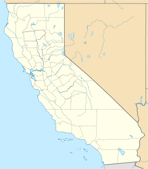
Gardner Army Airfield is a former United States Army Air Force World War II Field located 9 miles southeast of Taft, California. It was named for Major John H. Gardner, a World War I aviator hero.
Gardner AAF is historically significant as Major General Charles Elwood "Chuck" Yeager first learned how to fly an airplane there.
