| Garibaldi Provincial Park | |
|---|---|
 Sphinx Glacier, Garibaldi Lake and the north face of Mount Garibaldi, looking south from Panorama Ridge at 6,900 ft (2,100 m). | |
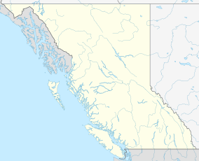
| Location | British Columbia, Canada |
| Nearest city | Squamish & Whistler, British Columbia |
| Coordinates | 49°55′N 122°45′W / 49.917°N 122.750°W |
| Area | 1,950 km2 (750 sq mi) |
| Established | April 29, 1920 |
| Governing body | BC Parks |
| Website | bcparks |
 | |
Garibaldi Provincial Park, also called Garibaldi Park, is a wilderness park located on the coastal mainland of British Columbia, Canada, 70 kilometres (43.5 mi) north of Vancouver. It was established in 1920 and named a Class A Provincial Park of British Columbia in 1927. The park is a popular destination for outdoor recreation, with over 30,000 overnight campers and over 106,000 day users in the 2017/2018 season.[2]
Garibaldi Park spans an area of over 1,950 square kilometres (753 sq mi), encompassing a majority of the Garibaldi Range mountains. The western side of the park is highly trafficked by the public due to access provided by the nearby Sea to Sky Highway to destinations in the park such as Elfin Lakes, Garibaldi Lake, The Black Tusk, Cheakamus Lake, and Wedgemount Lake. The eastern wilderness of the park is harder to access and therefore more remote than its western counterpart. To the south, Garibaldi Park connects with Golden Ears Provincial Park and Pinecone Burke Provincial Park, while its northern sections stretch past the Whistler ski resort, reaching nearly to the village of Pemberton.
- ^ "Protected Planet | Garibaldi Park". Protected Planet. Retrieved 2020-10-16.
- ^ "BC Parks 2017/18 Statistics Report" (PDF). Archived (PDF) from the original on 2020-07-16. Retrieved 2020-07-16.
