| Gashaka Gumti National Park | |
|---|---|
 | |
| Location | |
| Coordinates | 07°21′00″N 11°31′12″E / 7.35000°N 11.52000°E |
| Area | 6402 km2 |
| Established | 1991 |
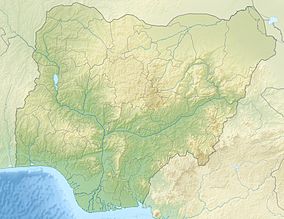
Gashaka-Gumti National Park (GGNP) is a national park in Nigeria, It was gazetted from two game reserves in 1991 and is Nigeria's largest national park. It is located in the eastern provinces of Taraba and Adamawa to the border with Cameroon. The total area covers about 6,402 km2, much of the northern GGNP is savannah grassland, while the southern GGNP sector of the park has a rugged terrain characterized by very mountainous, steep slopes as well as deep valleys and gorges, and is home to montane forests. Altitude ranges from ranging from about 457 metres (1,499 ft) in the northern flatter corner of the park, up to 2,419 metres (7,936 ft) at Chappal Waddi, Nigeria's highest mountain in the park's southern sections. It is an important water catchment area for the Benue River. There is abundant river flow even during the markedly dry season.[1] Enclaves for local Fulani pastoralists exist within the park boundary that allow for farming and grazing.[2]
- ^ "APESMAPPER". Archived from the original on 2009-08-09. Retrieved 2010-07-13.
- ^ Chapman, Hazel M.; Olson, Steven M.; Trumm, David (1 August 2004). "An assessment of changes in the montane forests of Taraba State, Nigeria, over the past 30 years". Oryx. 38 (3). doi:10.1017/S0030605304000511.
