| Gauldalen | |
|---|---|
| Gauldal | |
 View of the Gaula River at Kotsøy in Midtre Gauldal | |
| Length | 145 kilometres (90 mi) |
| Geology | |
| Type | River valley |
| Geography | |
| Location | Trøndelag, Norway |
| Coordinates | 62°58′05″N 10°58′03″E / 62.9681°N 10.9675°E |
| Rivers | Gaula |
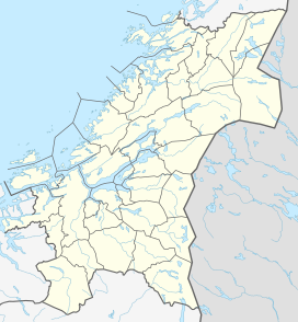
Gauldal or Gauldalen (English: Gaula River valley) is a valley and traditional district in Trøndelag county, Norway. The river Gaula runs through the 145-kilometre (90 mi) long valley from the Røros mountains near the lake Aursunden to the Trondheimsfjorden. The narrow valley runs northwards from Røros to the Haltdalen area, where it widens some, turns and heads generally to the west to the village of Støren. At Støren it turns again and heads north through what is now a wide, agricultural valley until it reaches the sea just south of the city of Trondheim. The Rørosbanen and Dovrebanen railway lines follow the Gauldalen valley on their way to Trondheim. The European route E6 highway and the Norwegian County Road 30 also follow the valley.[1]
The traditional district of Gauldal includes the municipalities of Holtålen, Midtre Gauldal, and Melhus. The municipality of Røros is often (traditionally) counted as a part of the district, even though it lies outside the actual Gaula river valley.[1]
- ^ a b Haugen, Morten, ed. (2017-12-12). "Gauldalen". Store norske leksikon (in Norwegian). Kunnskapsforlaget. Retrieved 2018-01-20.

