| Gibraltar | |
|---|---|
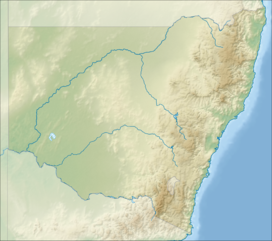
Location of the Gibraltar Range in New South Wales | |
| Highest point | |
| Peak | Summit Mountain (New South Wales) |
| Elevation | 1,170 m (3,840 ft)[1] AHD |
| Listing | Mountains in New South Wales |
| Coordinates | 29°29′S 152°21′E / 29.483°S 152.350°E[2] |
| Dimensions | |
| Length | 100 km (62 mi) ENE / NNE[3] |
| Geography | |
| Country | Australia |
| State | New South Wales |
| Range coordinates | 29°30′S 152°17′E / 29.500°S 152.283°E[3] |
| Parent range | Great Dividing Range |
The Gibraltar Range is a mountain range in the Northern Tablelands region of New South Wales, Australia. The range extends off the Great Dividing Range at Bald Nob about 25 kilometres (16 mi) east northeast of Glen Innes and trends generally east northeast and north northeast for about 100 kilometres (62 mi) to the junction of Timbarra and Clarence rivers. It forms the watershed between these two rivers.[3]
Within the range is the Gibraltar Range National Park. Mines in the area have produced amalgamated ores of titanium, tin, gold, nickel, rhodium and iron. Recently, there have been forest fires or threats of forest fires in the Gibraltar Range.
- ^ Hunter, John T.; Sheringham, Paul (2008). "Vegetation and floristic diversity in Gibraltar Range and part of Washpool National Parks, New South Wales" (PDF). Cunninghamia. 10 (3): 439–474.
- ^ "Summit Mountain". Geographical Names Register (GNR) of NSW. Geographical Names Board of New South Wales. Retrieved 6 May 2015.
- ^ a b c "Gibraltar Range". Geographical Names Register (GNR) of NSW. Geographical Names Board of New South Wales. Retrieved 9 October 2013.
