Giridih | |
|---|---|
City | |
|
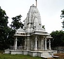
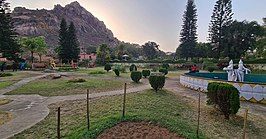
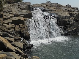
from the top: Shri Sammet Shikharji Parasnath, Kabir Gyan Mandir, Arati at Rakshitbari Puja, Chandranan and Sumitnath Temples in Madhuban, Khandoli Dam-cum-Park, Usri Falls | |
| Nickname: Land of Hills | |
| Coordinates: 24°11′N 86°18′E / 24.18°N 86.3°E | |
| Country | |
| State | |
| District | Giridih district |
| Named for | giri |
| Government | |
| • Type | Municipal governance in India |
| • Body | Giridih Municipal Corporation |
| Area | |
• Total | 87.4 km2 (33.7 sq mi) |
| Elevation | 289 m (948 ft) |
| Population (2011) | |
• Total | 143,529 |
| • Density | 1,600/km2 (4,300/sq mi) |
| Languages (*For language details see Giridih block#Language and religion) | |
| • Official | Hindi |
| Time zone | UTC+5:30 (IST) |
| PIN | 815301 |
| Telephone code | 0-6532 |
| Vehicle registration | JH-11 |
| Website | www |
Giridih is headquarters of the Giridih district of Jharkhand state, India. The city of Giridih is known for its industrial and health sectors, as well as its scenery.[citation needed] Giridih houses the Giridih Coalfield which is one of the oldest coalfields to be worked in India. Giridih is one of the six Data Processing Centres of Data Processing Division (DPD) of National Sample Survey Office (NSSO). Before 1972, Giridih was part of Hazaribagh district.


