| Glasinac | |
|---|---|
 Landscape on the Glasinac plateau, with a two small tumulus visible | |
| Highest point | |
| Elevation | 850 m (2,790 ft) |
| Coordinates | 43°54′19″N 18°48′11″E / 43.9053°N 18.8031°E |
| Dimensions | |
| Length | 7 km (4.3 mi) |
| Area | 22 km2 (8.5 sq mi) |
| Geography | |
| Location | Bosnia and Herzegovina |
| Parent range | Dinaric Alps |
| Geology | |
| Mountain type | karst plateau |
| Type of rock | Karst |

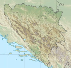
Glasinac is a karst plateau, situated in the eastern part of Bosnia and Herzegovina, on Romanija mountain, in the middle of Dinaric Alps. The main feature of the plateau is the Glasinačko Polje (transl. Glasinac field), a polje of 22 square kilometres, 7 km long, at an altitude of between 850 and 920 meters. The plateau consists of specious meadows and pastures, characteristic of the eastern part of Bosnia, whose lower levels consists of mostly hard impermeable rocks. The Glasinac plateau is surrounded by coniferous forests and peaks of Romanija, Bogovićka mountain, Gradina, Rab, Crni Vrh, Kopit and Kratelj. Sokolac town is located in the center of Glasinac, and has about 12,000 inhabitants.
It is a location of famous archeological site, known in academia as the Glasinac culture.
