| Glen of Aherlow | |
|---|---|
| Length | 13 km (8.1 mi) east-west |
| Width | 3 km (1.9 mi) north-south |
| Area | about 40 square kilometres (9,900 acres) |
| Naming | |
| Native name | Gleann Eatharlaí (Irish) |
| English translation | From Irish eatharlach, "land between elevations" |
| Geography | |
| Country | Republic of Ireland |
| State | County Tipperary |
| Region | Munster |
| Borders on | Slievenamuck (north); Galtee Mountains (south) |
| Coordinates | 52°25′08″N 8°11′35″W / 52.419°N 8.193°W |
| River | River Aherlow |
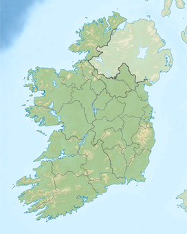
The Glen of Aherlow (Irish: Gleann Eatharlaí) is a valley located between Slievenamuck and the Galtee Mountains in the western part of County Tipperary in Ireland. The principal village is Lisvarrinane (sometimes spelled Lisvernane). There is also a hamlet at Rossadrehid, where Aherlow creamery was located before its closure in the late 20th century. Other adjacent centres of population are the villages of Galbally (on the western fringe), Kilross (on the north west front) and Bansha (on the eastern approach).[1] Across the northern flank of Slievenamuck lies Tipperary Town.
The tradition of Geoffrey Keating still lives on in the folklore of the Glen of Aherlow.[tone] Keating preached sermons there, receiving refuge and, according to tradition, lived in a cave for much of the time while on the run and compiling his magnum opus, Foras Feasa Ar Éirinn (c. 1634).[2]
- ^ Behold Aherlow by Michael Lynch. ISBN 0957026005.
- ^ Breandán Ó Buachalla, '"Annála Ríoghachta Éireann" Is "Foras Feasa ar Éirinn": An Comhthéacs Comhaimseartha' in Studia Hibernica, No. 22/23 (1982/1983), p. 90.
