| Golden Ears Provincial Park | |
|---|---|
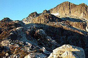
 Golden Ears Summit | |
| Location | Lower Mainland, British Columbia, Canada |
| Nearest city | Maple Ridge |
| Coordinates | 49°28′0″N 122°27′0″W / 49.46667°N 122.45000°W |
| Area | 609 km² |
| Established | 1967 |
| Visitors | 956,515 [2] (in 2017-18) |
| Governing body | BC Parks |
| Website | bcparks |
 | |
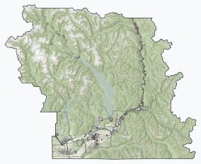
Golden Ears Provincial Park is a 555.9 square kilometres (214.6 sq mi) provincial park in British Columbia, Canada. It is named after the prominent twin peaks, which are commonly referred to as Golden Ears (Mount Blanshard) (elevation: 1,716 metres (5,630 ft)). The park was originally part of Garibaldi Provincial Park (established 1927) but was split off as a separate park in 1967.[3] The area was logged extensively in the 1920s by the Lougheed and Abernathy Logging Company.[4] Many recreational attractions are found within the park. Golden Ears Provincial Park is a protected area that contains many endangered species of flora and fauna.
- ^ "Golden Ears Park". Protected Planet. Retrieved 2020-10-16.
- ^ "BC Parks 2017/18 Statistics Report" (PDF). bcparks.ca. 2018. Archived from the original (PDF) on 2020-10-14. Retrieved 2020-10-13.
- ^ "Golden Ears Park". BC Geographical Names. Retrieved 2021-01-20.
- ^ Cite error: The named reference
:0was invoked but never defined (see the help page).

