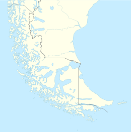
Native name: Isla Gordon | |
|---|---|
 Gordon Island, seen from the Beagle Channel | |
| Geography | |
| Coordinates | 54°58′S 69°35′W / 54.967°S 69.583°W |
| Adjacent to | Beagle Channel, Pacific Ocean |
| Area | 591 km2 (228 sq mi) |
| Coastline | 228.3 km (141.86 mi) |
| Highest point | 1548 |
| Administration | |
| Region | Magallanes |
| Province | Antártica Chilena |
| Commune | Cabo de Hornos |
| Additional information | |
| NGA UFI=-883298 | |
Gordon Island (Spanish: Isla Gordon) is an island in the Tierra del Fuego archipelago located between the Tierra del Fuego (Isla Grande) and the Hoste Island. It divides the Beagle Channel in two arms, the Northwest arm or Pomar Channel and the Southwest arm.
At the east end of the island is located the lighthouse Punta Divide.
