This article needs additional citations for verification. (November 2011) |
| Greers Ferry Lake | |
|---|---|
 Lake with Sugarloaf Mountain visible on the horizon | |
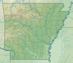
| Location | Cleburne / Van Buren counties, Arkansas, US |
| Coordinates | 35°32′02″N 92°07′47″W / 35.5339°N 92.1298°W |
| Type | reservoir |
| Primary inflows | Little Red River |
| Primary outflows | Little Red River |
| Basin countries | United States |
| Surface area | 40,500 acres (164 km2) |
| Max. depth | 198 ft (60 m) |
Greers Ferry Lake is the reservoir formed by Greers Ferry Dam, a United States Army Corps of Engineers dam in Northern Arkansas. It is located about 60 miles (100 km) north of Little Rock.
