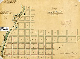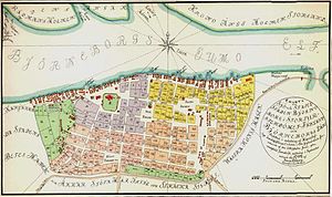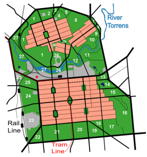


In urban planning, the grid plan, grid street plan, or gridiron plan is a type of city plan in which streets run at right angles to each other, forming a grid.[1]
Two inherent characteristics of the grid plan, frequent intersections and orthogonal geometry, facilitate movement. The geometry helps with orientation and wayfinding and its frequent intersections with the choice and directness of route to desired destinations.
In ancient Rome, the grid plan method of land measurement was called centuriation. The grid plan dates from antiquity and originated in multiple cultures; some of the earliest planned cities were built using grid plans in the Indian subcontinent.
- ^ Chenary, Kimia; Soltani, Ali; Sharifi, Ayyoob (2023). "Street network patterns for mitigating urban heat islands in arid climates". International Journal of Digital Earth. 16 (1): 3145–3161. Bibcode:2023IJDE...16.3145C. doi:10.1080/17538947.2023.2243901.