| Gulf Hagas | |
|---|---|
 A kayaker runs "Billings Falls" in Gulf Hagas. | |
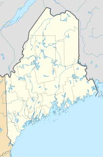
Map of Maine | |
| Location | Northern maine |
| Coordinates | 45°29′03″N 69°19′23″W / 45.4841°N 69.323°W |
| Established | 1985 |
| Designated | 1968 |

Gulf Hagas is a gorge located in the mountains of northern Maine woods and is often referred to as the Grand Canyon of Maine. The West Branch of the Pleasant River cuts through the earth for three miles creating a vertically walled slate gorge with numerous waterfalls. A trail follows the rim of the canyon offering hikers views of the falls and its geology. The gorge is 3 miles (4.8 km) long; the river drops 370 feet (110 m) in this distance boasting 130 feet (40 m) walls.[1] Gulf Hagas is one of 14 National Natural Landmarks in the State of Maine,[2] and is open to the public for a fee during the regular season.
- ^ Cite error: The named reference
AMCwas invoked but never defined (see the help page). - ^ "National Natural Landmarks - National Natural Landmarks (U.S. National Park Service)". www.nps.gov. Retrieved 2019-03-22.
Year designated: 1968
