| Gunpowder Falls State Park | |
|---|---|
 Park headquarters at Jerusalem Mill Village | |
| Location | Baltimore and Harford counties, Maryland, United States |
| Nearest city | Baltimore, Maryland |
| Coordinates | 39°21′45″N 76°20′33″W / 39.36250°N 76.34250°W |
| Area | 15,088 acres (6,106 ha)[1] |
| Elevation | 43 ft (13 m) |
| Established | 1959 |
| Administered by | Maryland Department of Natural Resources |
| Designation | Maryland state park |
| Website | Official website |
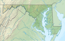
Gunpowder Falls State Park is a public recreation area comprising six non-contiguous areas covering 15,088 acres (6,106 ha) in northeastern Baltimore County and western Harford County, Maryland. The state park is primarily made up of the stream valleys of the Big and Little Gunpowder Falls and the Gunpowder River; its natural features range from tidal marshes to rugged interior slopes. The park has over 120 miles of trails for hiking, biking, horseback riding, and cross-country skiing plus facilities for picnicking, tubing, canoeing and kayaking, tide-water fishing and crabbing, fly fishing,[2] and hunting, among other activities. It is managed by the Maryland Department of Natural Resources.[3]
