| Gurla Mandhata | |
|---|---|
 Gurla Mandhata | |
| Highest point | |
| Elevation | 7,728 m (25,354 ft)[1] Ranked 34th |
| Prominence | 2,788 m (9,147 ft)[1] |
| Listing | Ultra |
| Coordinates | 30°26′09″N 81°17′45″E / 30.43583°N 81.29583°E[1] |
| Geography | |
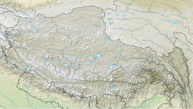
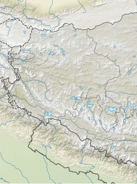
| Location | Tibet Autonomous Region, China |
| Parent range | Nalakankar Himal, Himalaya |
| Climbing | |
| First ascent | 1985 by Cirenuoji, Jiabu, Jin Junxi, K. Matsubayashi, Song Zhiyu, K. Suita, Y. Suita, T. Wada[2] |
| Easiest route | West flank: snow/ice climb |
| Namu Nani | |||||||||
|---|---|---|---|---|---|---|---|---|---|
| Chinese name | |||||||||
| Traditional Chinese | 納木那尼峰 | ||||||||
| Simplified Chinese | 纳木那尼峰 | ||||||||
| Literal meaning | [phonetic from Tibetan] | ||||||||
| |||||||||
| Naimona'nyi | |||||||||
|---|---|---|---|---|---|---|---|---|---|
| Tibetan name | |||||||||
| Tibetan | གནས་མོ་སྣ་གཉིས མེ་མོ་ ན་ ཉི་ | ||||||||
| |||||||||
Gurla Mandhata, also Naimona'nyi or Namu Nani, is the highest peak of the Nalakankar Himal, a small subrange of the Himalaya. It lies in the northwest corner of Nepal. It is the 34th-highest peak in the world (using a 500-metre prominence cutoff). It is also notable for being well within the interior of the Tibetan Plateau (most peaks of similar height – except notably Shishapangma, the world's 14th-highest peak – lie nearer to or outside the edge of the Plateau) and relatively far away from other peaks with heights greater than 7,500 metres. It sits roughly across Lake Manasarovar from the sacred peak of Mount Kailash.


