Haji Aroeppala Airport Bandara Haji Aroeppala | |||||||||||
|---|---|---|---|---|---|---|---|---|---|---|---|
 | |||||||||||
| Summary | |||||||||||
| Airport type | Public | ||||||||||
| Operator | Government | ||||||||||
| Serves | Benteng | ||||||||||
| Location | Selayar Islands Regency, South Sulawesi, Sulawesi, Indonesia | ||||||||||
| Time zone | WITA (UTC+08:00) | ||||||||||
| Elevation AMSL | 4 m / 13 ft | ||||||||||
| Coordinates | 06°10′43″S 120°26′14″E / 6.17861°S 120.43722°E | ||||||||||
| Maps | |||||||||||
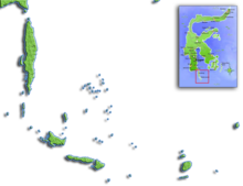
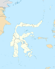
 Sulawesi region in Indonesia | |||||||||||
 | |||||||||||
| Runways | |||||||||||
| |||||||||||
Sources: DGCA[1] | |||||||||||
Haji Aroeppala Airport (IATA: KSR, ICAO: WAWH), sometimes abbreviated H. Aroeppala Airport, is a public airport in Selayar Regency, South Sulawesi, Sulawesi Island, Indonesia.
- ^ "Page for H. Aroeppala Airport". Indonesian DGCA. 12 June 2016.


