Hamersville, Ohio | |
|---|---|
 Looking northwest on Main Street (Ohio State Route 125) in Hamersville | |
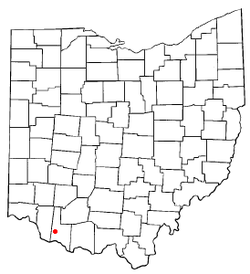
 Location of Hamersville, Ohio | |
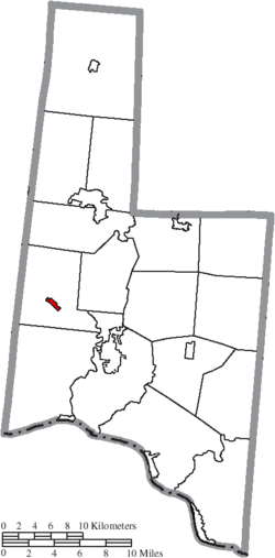
 Location of Hamersville in Brown County | |
| Coordinates: 38°55′08″N 83°59′07″W / 38.91889°N 83.98528°W | |
| Country | United States |
| State | Ohio |
| County | Brown |
| Township | Clark |
| Government | |
| • Mayor | Justin Jones[1] |
| Area | |
• Total | 0.44 sq mi (1.13 km2) |
| • Land | 0.44 sq mi (1.13 km2) |
| • Water | 0.00 sq mi (0.00 km2) |
| Elevation | 968 ft (295 m) |
| Population (2020) | |
• Total | 485 |
• Estimate (2023)[4] | 487 |
| • Density | 1,107.31/sq mi (427.92/km2) |
| Time zone | UTC-5 (Eastern (EST)) |
| • Summer (DST) | UTC-4 (EDT) |
| ZIP code | 45130 |
| Area code(s) | 937, 326 |
| FIPS code | 39-32984[5] |
| GNIS feature ID | 2398230[3] |
Hamersville (/ˈheɪmərzvɪl/ HAY-mərz-vil[6]) is a village in Clark Township, Brown County, Ohio, United States. The population was 485 at the 2020 census.
- ^ Floyd, Dawn (November 9, 2023). "Winners declared in Brown and Adams Counties". The Ledger Independent. Retrieved July 6, 2024.
- ^ "ArcGIS REST Services Directory". United States Census Bureau. Retrieved September 20, 2022.
- ^ a b U.S. Geological Survey Geographic Names Information System: Hamersville, Ohio
- ^ "Annual Estimates of the Resident Population for Incorporated Places in Ohio: April 1, 2020 to July 1, 2023". United States Census Bureau. Retrieved July 6, 2024.
- ^ "U.S. Census website". United States Census Bureau. Retrieved January 31, 2008.
- ^ "E.W. Scripps School of Journalism Ohio Pronunciation Guide | Ohio University". www.ohio.edu. Ohio University. 2016. Retrieved September 11, 2022.